 Call for Availabity!
$289.27
$243.00
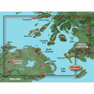
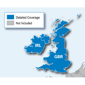
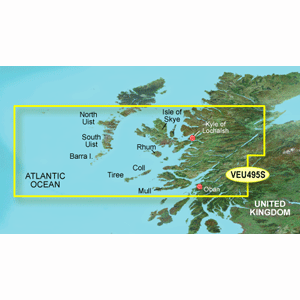
Garmin VEU495S - Loch Ewe to Mull - SD Card
Garmin
VEU495S Covers:Detailed coverage of the southern half of the Outer Hebrides to Mull. Including detailed coverage of North and South Uist, Isle of S...
View full details
$289.27
$243.00
Call for Availabity!