 Call for Availabity!
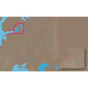
C-MAP MAX EN-M604 - Russian Lakes - C-Card
C-Map
Russian Lakes: Eastern Gulf of Finland includes Kotka, Gogland, Seskarand, Saint Petersberg, Neva River, Lake Ladoga, Svir River and Lake Onega
 Call for Availabity!
Russian Lakes: Eastern Gulf of Finland includes Kotka, Gogland, Seskarand, Saint Petersberg, Neva River, Lake Ladoga, Svir River and Lake Onega
 Call for Availabity!
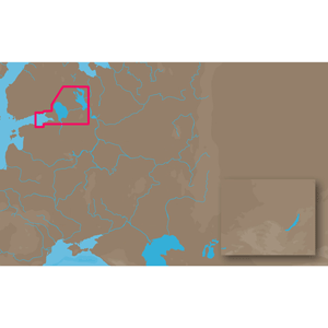
Russian Lakes: Eastern Gulf of Finland includes Kotka, Gogland, Seskarand, Saint Petersberg, Neva River, Lake Ladoga, Svir River and Lake Onega
 Call for Availabity!
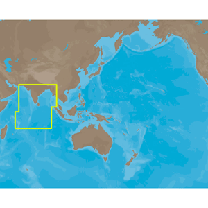
Coverage of Indian Ocean. It covers coastal areas along Mauritiuis, Seychelles, United Kingdom, Maldives, India, Gulf of Kachchh, Colombo, Banglade...
View full details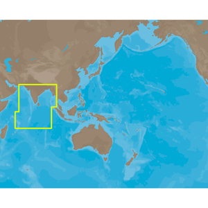 Call for Availabity!
Coverage of Indian Ocean. It covers coastal areas along Mauritiuis, Seychelles, United Kingdom, Maldives, India, Gulf of Kachchh, Colombo, Banglade...
View full details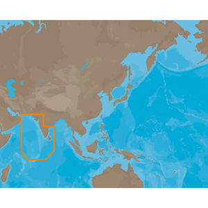 Call for Availabity!
Coverage of Eastern India, Sri Lanka, United Kingdom and Maldives. It covers Gulf of kachchh, Lakshadweep, coastal areas along Karachi, Jamnagar, V...
View full details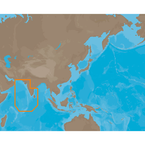 Call for Availabity!
Coverage of Eastern India, Sri Lanka, United Kingdom and Maldives. It covers Gulf of kachchh, Lakshadweep, coastal areas along Karachi, Jamnagar, V...
View full details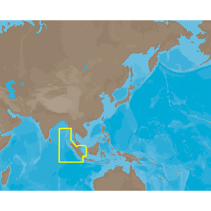 Call for Availabity!
Coverage of the Gulf of Martaban in Burma to Jakarta in Indonesia. It covers Gulf of Martaban, coastal areas along Tavoy, Mergui in Burma, Chumphon...
View full details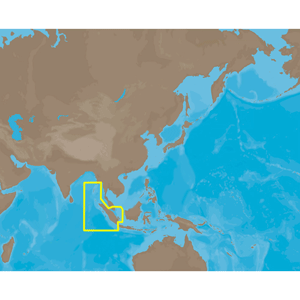 Call for Availabity!
Coverage of the Gulf of Martaban in Burma to Jakarta in Indonesia. It covers Gulf of Martaban, coastal areas along Tavoy, Mergui in Burma, Chumphon...
View full details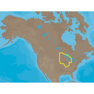 Call for Availabity!
Designed for freshwater fishing and hunting, MAX Lakes delivers the highest level of detail and value-added data not found on any other electronic ...
View full details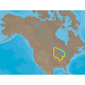 Call for Availabity!
Designed for freshwater fishing and hunting, MAX Lakes delivers the highest level of detail and value-added data not found on any other electronic ...
View full details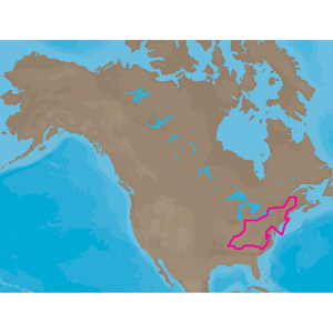 Call for Availabity!
Designed for freshwater fishing and hunting, MAX Lakes delivers the highest level of detail and value-added data not found on any other electronic ...
View full details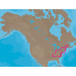 Call for Availabity!
Designed for freshwater fishing and hunting, MAX Lakes delivers the highest level of detail and value-added data not found on any other electronic ...
View full details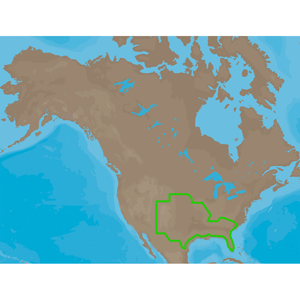 Call for Availabity!
Designed for freshwater fishing and hunting, MAX Lakes delivers the highest level of detail and value-added data not found on any other electronic ...
View full details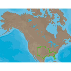 Call for Availabity!
Designed for freshwater fishing and hunting, MAX Lakes delivers the highest level of detail and value-added data not found on any other electronic ...
View full details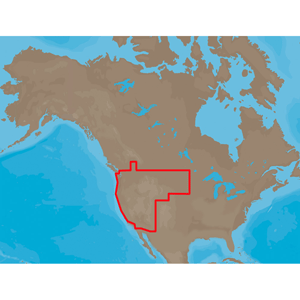 Call for Availabity!
Designed for freshwater fishing and hunting, MAX Lakes delivers the highest level of detail and value-added data not found on any other electronic ...
View full details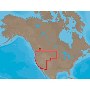 Call for Availabity!
Designed for freshwater fishing and hunting, MAX Lakes delivers the highest level of detail and value-added data not found on any other electronic ...
View full details![C-MAP MAX NA-M012 - Canada North & East - C-Card [NA-M021C-CARD]](http://cemarine.com/cdn/shop/products/30126XL_512x512.jpg?v=1642745263) Call for Availabity!
Call for Availabity!
NA-M021 => Canada North and EastCoverage of the Arctic and Atlantic coasts of Canada including Hudson Bay, Newfoundland, the Gulf of St. Lawren...
View full details![C-MAP MAX NA-M021 - Canada North & East - SD Card [NA-M021SDCARD]](http://cemarine.com/cdn/shop/products/30142XL_512x512.jpg?v=1642745325) Call for Availabity!
Call for Availabity!
NA-M021 => Canada North and EastCoverage of the Arctic and Atlantic coasts of Canada including Hudson Bay, Newfoundland, the Gulf of St. Lawren...
View full details![C-MAP MAX NA-M022 - U.S. East Coast & The Bahamas - C-Card [NA-M022C-CARD]](http://cemarine.com/cdn/shop/products/30129XL_512x512.jpg?v=1642745286) Call for Availabity!
Call for Availabity!
NA-M022 => USA East Coast and BahamasCoverage of the United States Atlantic coast from Passamaquoddy Bay, ME down to Key West, FL, with extende...
View full details![C-MAP MAX NA-M022 - U.S. East Coast & The Bahamas - SD Card [NA-M022SDCARD]](http://cemarine.com/cdn/shop/products/30145XL_512x512.jpg?v=1642745350) Call for Availabity!
Call for Availabity!
NA-M022 => USA East Coast and BahamasCoverage of the United States Atlantic coast from Passamaquoddy Bay, ME down to Key West, FL, with extende...
View full details![C-MAP MAX NA-M023 - U.S. Gulf Coast & Inland Rivers - C-Card [NA-M023C-CARD]](http://cemarine.com/cdn/shop/products/30128XL_512x512.jpg?v=1642745279) Call for Availabity!
Call for Availabity!
NA-M023 => Gulf of Mexico, Great Lakes and RiversCoverage of the Gulf states, starting from Boca Raton, FL, down to Key West, FL, then back up ...
View full details![C-MAP MAX NA-M023 - U.S. Gulf Coast & Inland Rivers - SD Card [NA-M023SDCARD]](http://cemarine.com/cdn/shop/products/30144XL_512x512.jpg?v=1642745343) Call for Availabity!
Call for Availabity!
NA-M023 => Gulf of Mexico, Great Lakes and RiversCoverage of the Gulf states, starting from Boca Raton, FL, down to Key West, FL, then back up ...
View full details![C-MAP MAX NA-M024 - U.S. West Coast & Hawaii - C-Card [NA-M024C-CARD]](http://cemarine.com/cdn/shop/products/30132XL_512x512.jpg?v=1642745302) Call for Availabity!
Call for Availabity!
NA-M024 => USA West Coast and HawaiiCoverage of the Pacific Coast of the United States, including all of the coasts of California, Oregon and W...
View full details![C-MAP MAX NA-M024 - U.S. West Coast & Hawaii - SD Card [NA-M024SDCARD]](http://cemarine.com/cdn/shop/products/30147XL_512x512.jpg?v=1642745367) Call for Availabity!
Call for Availabity!
NA-M024 => USA West Coast and HawaiiCoverage of the Pacific Coast of the United States, including all of the coasts of California, Oregon and W...
View full details![C-MAP MAX NA-M025 - Canada West - C-Card [NA-M025C-CARD]](http://cemarine.com/cdn/shop/products/30133XL_512x512.jpg?v=1642745309) Call for Availabity!
Call for Availabity!
NA-M025 => Canada WestCoverage of British Columbia, Puget Sound and the San Juan Islands. Full coverage of Vancouver Island and the Queen Char...
View full details![C-MAP MAX NA-M025 - Canada West - SD Card [NA-M025SDCARD]](http://cemarine.com/cdn/shop/products/30148XL_512x512.jpg?v=1642745375) Call for Availabity!
Call for Availabity!
NA-M025 => Canada WestCoverage of British Columbia, Puget Sound and the San Juan Islands. Full coverage of Vancouver Island and the Queen Char...
View full details![C-MAP MAX NA-M026 - Great Lakes & The Maritimes - C-Card [NA-M026C-CARD]](http://cemarine.com/cdn/shop/products/30127XL_512x512.jpg?v=1642745271) Call for Availabity!
Call for Availabity!
NA-M026 => Great Lakes, Northeast Coast and ApproachesCoverage of the Great Lakes, St. Lawrence River and Northeast United States. Coverage of...
View full details![C-MAP MAX NA-M026 - Great Lakes & The Maritimes - SD Card [NA-M026SDCARD]](http://cemarine.com/cdn/shop/products/30143XL_512x512.jpg?v=1642745333) Call for Availabity!
Call for Availabity!
NA-M026 => Great Lakes, Northeast Coast and ApproachesCoverage of the Great Lakes, St. Lawrence River and Northeast United States. Coverage of...
View full details![C-MAP MAX NA-M027 - Central America & The Caribbean - C-Card [NA-M027C-CARD]](http://cemarine.com/cdn/shop/products/30131XL_512x512.jpg?v=1642745294) Call for Availabity!
Call for Availabity!
NA-M027 => Central America and CaribbeanCoverage of Central America, all of the Caribbean and the northern coast of South America, and the Gulf...
View full details![C-MAP MAX NA-M027 - Central America & The Caribbean - SD Card [NA-M027SDCARD]](http://cemarine.com/cdn/shop/products/30146XL_512x512.jpg?v=1642745358) Call for Availabity!
Call for Availabity!
NA-M027 => Central America and CaribbeanCoverage of Central America, all of the Caribbean and the northern coast of South America, and the Gulf...
View full details![C-MAP MAX NA-M028 - Alaska - C-Card [NA-M028C-CARD]](http://cemarine.com/cdn/shop/products/30134XL_512x512.jpg?v=1642745317) Call for Availabity!
Call for Availabity!
NA-M028 => AlaskaCoverage of the southern Alaska coast from Dixon Entrance up and over to Kodiak Island. Includes all of the Aleutian Islands ...
View full details![C-MAP MAX NA-M028 - Alaska - SD Card [NA-M028SDCARD]](http://cemarine.com/cdn/shop/products/30149XL_512x512.jpg?v=1642745384) Call for Availabity!
Call for Availabity!
NA-M028 => AlaskaCoverage of the southern Alaska coast from Dixon Entrance up and over to Kodiak Island. Includes all of the Aleutian Islands ...
View full details![C-MAP MAX NA-M033 - ATL Coast Gulf & Caribbean - SD Card [NA-M033SDCARD]](http://cemarine.com/cdn/shop/products/30153XL_512x512.jpg?v=1642745392) Call for Availabity!
Call for Availabity!
NA-M033 => Atlantic Coast, Gulf of Mexico and CaribbeanCoverage includes most of the eastern coastline of North America. Canadian coverage sta...
View full details![C-MAP MAX NA-M035 - Pacific Coast & Central - SD Card [NA-M035SDCARD]](http://cemarine.com/cdn/shop/products/30154XL_512x512.jpg?v=1642745399) Call for Availabity!
Call for Availabity!
NA-M035 => Pacific Coast and Central America Coverage includes all of the western coastline of North America. Coverage starts at the Mexico/US...
View full details![C-MAP MAX NA-M050/SD - Lake Michigan Bathymetric SD Format [NA-M050/SD]](http://cemarine.com/cdn/shop/products/60711XL_512x512.jpg?v=1642746911) Call for Availabity!
Call for Availabity!
MAX NA-M050/SD - Lake Michigan Bathymetric SD FormatC-MAPs extensive freshwater database offers lake detail for nearly 13,000 lakes and also inclu...
View full details![C-MAP MAX NA-M051/SD - Lake Superior Bathymetric SD Format [NA-M051/SD]](http://cemarine.com/cdn/shop/products/60712XL_512x512.jpg?v=1642746918) Call for Availabity!
Call for Availabity!
MAX NA-M051/SD - Lake Superior Bathymetric SD FormatC-MAPs extensive freshwater database offers lake detail for nearly 13,000 lakes and also inclu...
View full details![C-MAP MAX NA-M052/SD - Lake Huron Bathymetric SD Format [NA-M052/SD]](http://cemarine.com/cdn/shop/products/60713XL_512x512.jpg?v=1642746926) Call for Availabity!
Call for Availabity!
MAX NA-M052/SD - Lake Huron Bathymetric SD FormatC-MAPs extensive freshwater database offers lake detail for nearly 13,000 lakes and also includes...
View full details![C-MAP MAX NA-M053/SD - Lake Erie & Lake St. Clair Bathymetric SD Format [NA-M053/SD]](http://cemarine.com/cdn/shop/products/60714XL_512x512.jpg?v=1642746933) Call for Availabity!
Call for Availabity!
MAX NA-M053/SD - Lake Erie & Lake St. Clair Bathymetric SD FormatC-MAPs extensive freshwater database offers lake detail for nearly 13,000 lak...
View full details![C-MAP MAX NA-M054/SD - Lake Ontario Bathymetric SD Format [NA-M054/SD]](http://cemarine.com/cdn/shop/products/60715XL_512x512.jpg?v=1642746942) Call for Availabity!
Call for Availabity!
MAX NA-M054/SD - Lake Ontario Bathymetric SD FormatC-MAPs extensive freshwater database offers lake detail for nearly 13,000 lakes and also includ...
View full details![C-MAP MAX NA-M320 - Passamaquoddy Bay ME-NC: Bathy - SD Card [NA-M320SDCARD]](http://cemarine.com/cdn/shop/products/31356XL_512x512.jpg?v=1642745448) Call for Availabity!
Call for Availabity!
NA-M320 => Passamaquoddy Bay to Cape LookoutCoverage includes offshore bathymetric details from Passamaquoddy Bay, ME to Cape Lookout, NC. Cov...
View full details![C-MAP MAX NA-M320 -Passamaquoddy Bay ME-NC: Bathy - C-Card [NA-M320C-CARD]](http://cemarine.com/cdn/shop/files/33236XL_512x512.jpg?v=1731455787) Call for Availabity!
Call for Availabity!
NA-M320 => Passamaquoddy Bay to Cape LookoutCoverage includes offshore bathymetric details from Passamaquoddy Bay, ME to Cape Lookout, NC. Cov...
View full details![C-MAP MAX NA-M321 - Cape Henry, NC-Apalachicola, FL - SD Card [NA-M321SDCARD]](http://cemarine.com/cdn/shop/products/28209XL_512x512.jpg?v=1642745213) Call for Availabity!
Call for Availabity!
NA-M321 => Cape Henry to Apalachicola BayCoverage includes offshore bathymetric details from Cape Henry, VA to Apalachicola Bay, FL. Coverage ...
View full details![C-MAP MAX NA-M420 - Gulf of Mexico: Bathy - SD Card [NA-M420SDCARD]](http://cemarine.com/cdn/shop/products/28210XL_512x512.jpg?v=1642745220) Call for Availabity!
Call for Availabity!
NA-M420 => Gulf of MexicoCoverage includes the offshore bathymetric details for the Gulf of Mexico from Key West, FL over and around to Brownsv...
View full details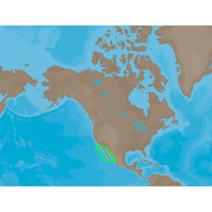 Call for Availabity!
NA-M609Baja Directions is a provider of bathymetric and fishinginformation for the Baja California region of Mexico. An extremely popular area fors...
View full details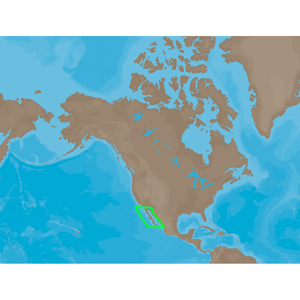 Call for Availabity!
NA-M609Baja Directions is a provider of bathymetric and fishinginformation for the Baja California region of Mexico. An extremely popular area fors...
View full details![C-MAP MAX NA-M620 - San Diego, CA-Cape Blanco, OR - SD Card [NA-M620SDCARD]](http://cemarine.com/cdn/shop/products/28211XL_512x512.jpg?v=1642745228) Call for Availabity!
Call for Availabity!
NA-M620 => San Diego to Cape BlancoCoverage includes the offshore bathymetric details for the coast of California and southern coast of Oregon,...
View full details![C-MAP MAX NA-M621 - Cape Blanco, OR-Puget Sound - SD Card [NA-M621SDCARD]](http://cemarine.com/cdn/shop/products/28212XL_512x512.jpg?v=1642745235) Call for Availabity!
Call for Availabity!
NA-M621 => Cape Blanco to Puget SoundCoverage includes the offshore bathymetric details for the coasts of Oregon and Washington. Coverage actu...
View full details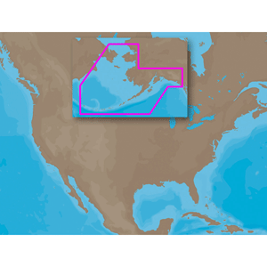 Call for Availabity!
NA-M820 => Alaskan Coasts BathymetricCoverage includes the offshore bathymetric details for the coast of Alaska from Dry Bay, just east of Yakut...
View full detailsJoin your mailing list!
CE Marine sells, installs, services and supports marine electronics, marine equipment and other marine supplies and provides professional marine consulting and engineering services to owners of recreational, commercial and government marine vessels.
C&E Marine Group, LLC
2035 County K
Hartford, WI 53027
1-414-254-1559
Copyright © 2024 CE Marine Electronics.
