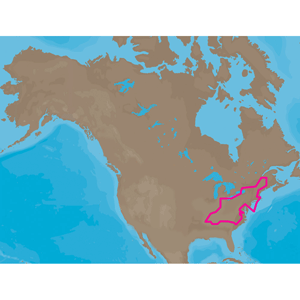
![C-MAP MAX NA-M026 - Great Lakes & The Maritimes - SD Card [NA-M026SDCARD]](http://cemarine.com/cdn/shop/products/30143XL_512x512.jpg?v=1642745333)
$279.00
C-MAP MAX NA-M026 - Great Lakes & The Maritimes - SD Card [NA-M026SDCARD]
C-MAP
NA-M026 => Great Lakes, Northeast Coast and ApproachesCoverage of the Great Lakes, St. Lawrence River and Northeast United States. Coverage of...
View full details
$279.00
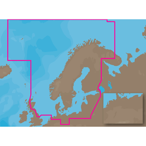
![C-MAP MAX NA-M021 - Canada North & East - SD Card [NA-M021SDCARD]](http://cemarine.com/cdn/shop/products/30142XL_512x512.jpg?v=1642745325)
![C-MAP MAX NA-M028 - Alaska - C-Card [NA-M028C-CARD]](http://cemarine.com/cdn/shop/products/30134XL_512x512.jpg?v=1642745317)
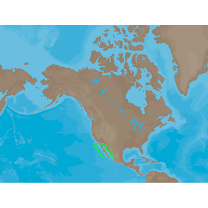
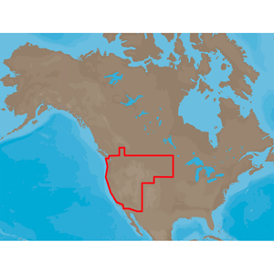
![C-MAP MAX NA-M025 - Canada West - C-Card [NA-M025C-CARD]](http://cemarine.com/cdn/shop/products/30133XL_512x512.jpg?v=1642745309)
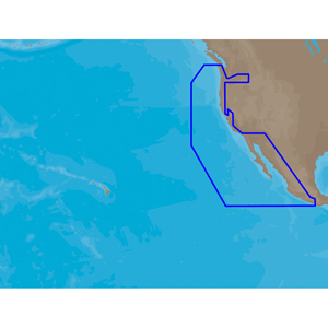
![C-MAP MAX NA-M024 - U.S. West Coast & Hawaii - C-Card [NA-M024C-CARD]](http://cemarine.com/cdn/shop/products/30132XL_512x512.jpg?v=1642745302)
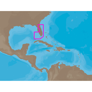
![C-MAP MAX NA-M027 - Central America & The Caribbean - C-Card [NA-M027C-CARD]](http://cemarine.com/cdn/shop/products/30131XL_512x512.jpg?v=1642745294)
![C-MAP MAX NA-M022 - U.S. East Coast & The Bahamas - C-Card [NA-M022C-CARD]](http://cemarine.com/cdn/shop/products/30129XL_512x512.jpg?v=1642745286)
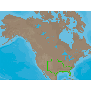
![C-MAP MAX NA-M023 - U.S. Gulf Coast & Inland Rivers - C-Card [NA-M023C-CARD]](http://cemarine.com/cdn/shop/products/30128XL_512x512.jpg?v=1642745279)
![C-MAP MAX NA-M026 - Great Lakes & The Maritimes - C-Card [NA-M026C-CARD]](http://cemarine.com/cdn/shop/products/30127XL_512x512.jpg?v=1642745271)
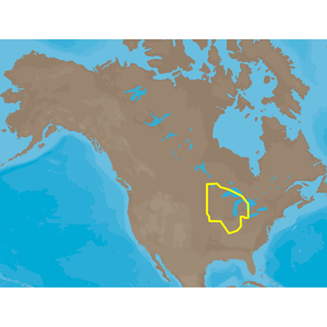
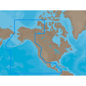
![C-MAP MAX NA-M012 - Canada North & East - C-Card [NA-M021C-CARD]](http://cemarine.com/cdn/shop/products/30126XL_512x512.jpg?v=1642745263)
![C-Map NA-M420 Gulf of Mexico Bathy Chart - C-Card [NA-M420C-CARD]](http://cemarine.com/cdn/shop/products/28216XL_512x512.jpg?v=1642745243)
![C-MAP MAX NA-M621 - Cape Blanco, OR-Puget Sound - SD Card [NA-M621SDCARD]](http://cemarine.com/cdn/shop/products/28212XL_512x512.jpg?v=1642745235)
![C-MAP MAX NA-M620 - San Diego, CA-Cape Blanco, OR - SD Card [NA-M620SDCARD]](http://cemarine.com/cdn/shop/products/28211XL_512x512.jpg?v=1642745228)
![C-MAP MAX NA-M420 - Gulf of Mexico: Bathy - SD Card [NA-M420SDCARD]](http://cemarine.com/cdn/shop/products/28210XL_512x512.jpg?v=1642745220)
![C-MAP MAX NA-M321 - Cape Henry, NC-Apalachicola, FL - SD Card [NA-M321SDCARD]](http://cemarine.com/cdn/shop/products/28209XL_512x512.jpg?v=1642745213)
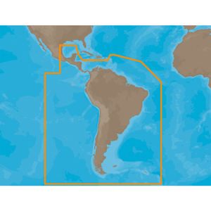
![C-MAP MAX SA-M500 - Costa Rica-Chile Falklands - SD Card [SA-M500SDCARD]](http://cemarine.com/cdn/shop/products/17593XL_512x512.jpg?v=1642745116)
![C-MAP MAX SA-M500 - Costa Rica-Chile-Falklands - C-Card [SA-M500C-CARD]](http://cemarine.com/cdn/shop/products/18919XL_512x512.jpg?v=1642745140)
![C-MAP MAX PC-M204 - South Pacific Islands - SD Card [PC-M204SDCARD]](http://cemarine.com/cdn/shop/products/17708XL_512x512.jpg?v=1642745132)
![C-MAP MAX SA-M501 - Gulf of Paria - Cape Horn - SD Card [SA-M501SDCARD]](http://cemarine.com/cdn/shop/products/17594XL_512x512.jpg?v=1642745124)
![C-MAP M-NA-Y214-MS US Lakes South East REVEAL Inland Chart [M-NA-Y214-MS]](http://cemarine.com/cdn/shop/products/87979XL_512x512.jpg?v=1642190396)
![C-MAP M-NA-Y216-MS Canada Lakes REVEAL Inland Chart [M-NA-Y216-MS]](http://cemarine.com/cdn/shop/products/87550XL_512x512.jpg?v=1642190388)
![C-MAP M-NA-Y215-MS US Lakes South Central REVEAL Inland Chart [M-NA-Y215-MS]](http://cemarine.com/cdn/shop/products/87549XL_512x512.jpg?v=1642190380)
![C-MAP M-NA-Y213-MS US Lakes East REVEAL Inland Chart [M-NA-Y213-MS]](http://cemarine.com/cdn/shop/products/87548XL_512x512.jpg?v=1642190372)
![C-MAP M-NA-Y212-MS US Lakes North Central REVEAL Inland Chart [M-NA-Y212-MS]](http://cemarine.com/cdn/shop/products/87547XL_512x512.jpg?v=1642190363)
![C-MAP M-NA-Y211-MS US Lakes West REVEAL Inland Chart [M-NA-Y211-MS]](http://cemarine.com/cdn/shop/products/87546XL_512x512.jpg?v=1642190354)
![C-MAP M-NA-Y209-MS Canada North East REVEAL Coastal Chart [M-NA-Y209-MS]](http://cemarine.com/cdn/shop/products/87533XL_512x512.jpg?v=1642190347)
![C-MAP M-NA-Y208-MS Alaska REVEAL Coastal Chart [M-NA-Y208-MS]](http://cemarine.com/cdn/shop/products/87532XL_512x512.jpg?v=1642190339)
![C-MAP M-NA-Y207-MS Columbia Puget Sound REVEAL Coastal Chart [M-NA-Y207-MS]](http://cemarine.com/cdn/shop/products/87531XL_512x512.jpg?v=1642190330)
![C-MAP M-NA-Y203-MS Chesapeake Bay to Bahamas REVEAL Coastal Chart [M-NA-Y203-MS]](http://cemarine.com/cdn/shop/products/87527XL_512x512.jpg?v=1642190322)
![C-MAP M-NA-Y202-MS Nova Scotia to Chesapeake Bay REVEAL Coastal Chart [M-NA-Y202-MS]](http://cemarine.com/cdn/shop/products/87526XL_512x512.jpg?v=1642190314)
![C-MAP M-NA-Y201-MS Great Lakes To Nova Scotia REVEAL Coastal Chart [M-NA-Y201-MS]](http://cemarine.com/cdn/shop/products/87524XL_512x512.jpg?v=1642190307)